Itinerar: Rossens – Freiburg – Düdingen, Staumauer/Camping
Die Route zwischen Rossens und Düdingen bildet die Grundlage für ein ganzes Wegenetz. Dieses bietet Zugang zu thematischen Rundwegen, die den Reichtum der Region (Gastronomie, Sport,Geschichte, Architektur, Natur, Kultur, Wirtschaft) hervorheben, Elemente, die ihre Identität prägen. Auf diesen Rundwegen kann man den Spuren menschlicher Aktivitäten folgen und ihre Wechselwirkungen mit dem Fluss von gestern bis heute verstehen.
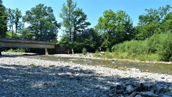
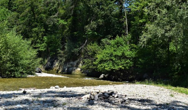
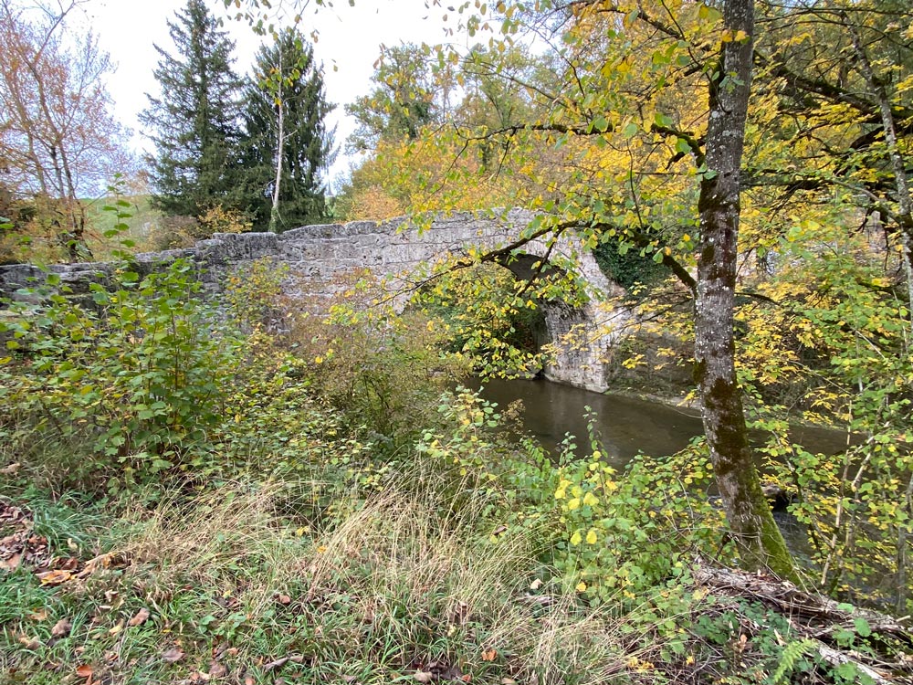
Der Fluss bestimmt auch den Rhythmus der Hauptroute und bietet an jeder Wegbiegung neue Perspektiven auf die Region. Entlang der gesamten Strecke zeugen alte Brücken, Kapellen und Industriegebäude vom traditionellen Know-how und dem Einfluss der Saane auf das lokale Leben im Laufe der Jahrhunderte. Die Naturschutzgebiete entlang der Strecke bieten vielfältige Lebensräume für Fauna und Flora und sind gleichzeitig Orte derEntspannung und spannender Beobachtungen.
Etappe 1: Rossens – Freiburg
Startpunkt: Bushaltestelle, Rossens FR, Dorf
Etappenlänge: 17 km
Dauer: 4h45
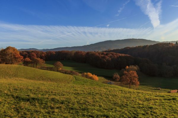
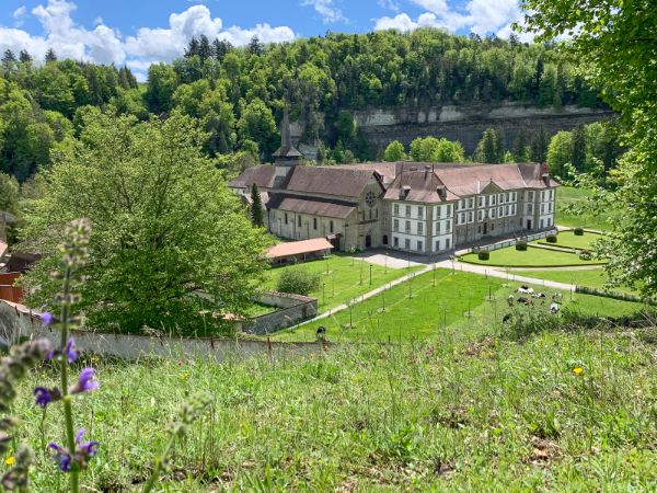
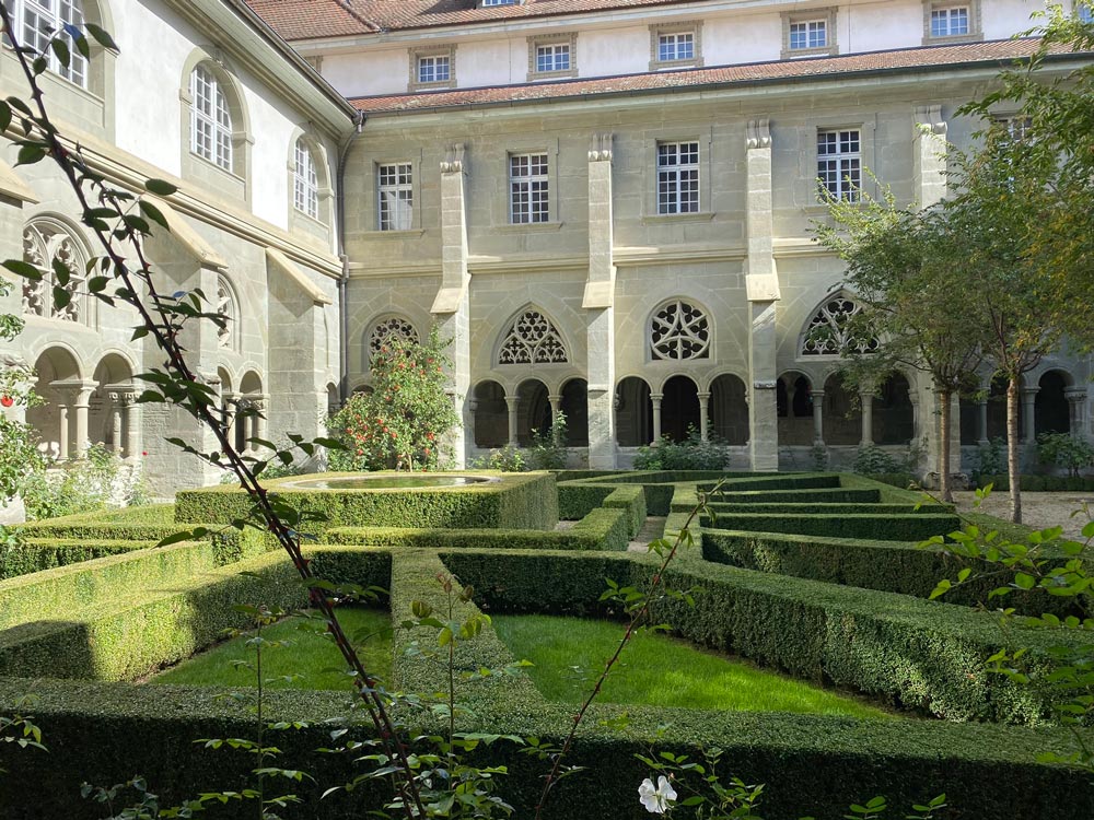
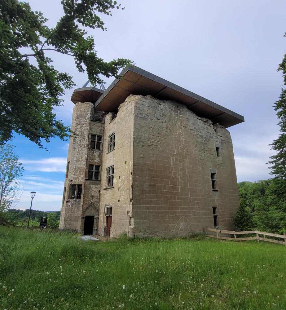
Diese bewaldete und hügelige Etappe ist geprägtvon einer grossen landschaftlichen Vielfalt und einem reichen Naturerbe. Die Saane begleitet die Route, bietet zahlreiche Aussichtspunkte und zeugt von der engen Verbindung zwischen Wasser und Land. Zu den bemerkenswerten Sehenswürdigkeiten entlang des Weges gehören das Schloss Illens und das Kloster Hauterive.
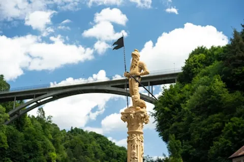
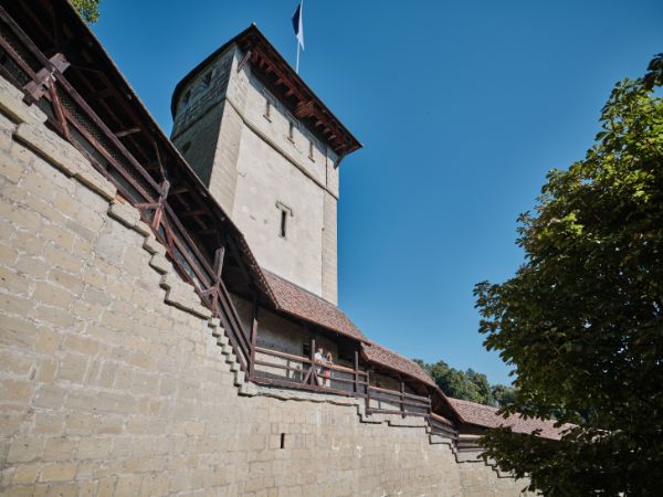
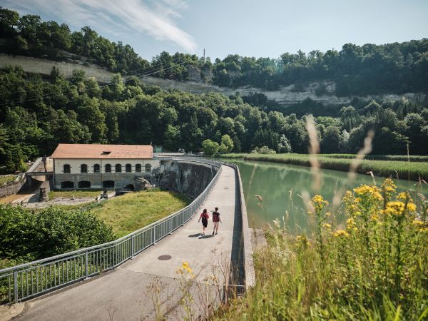
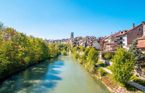
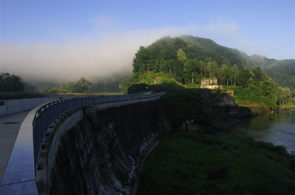
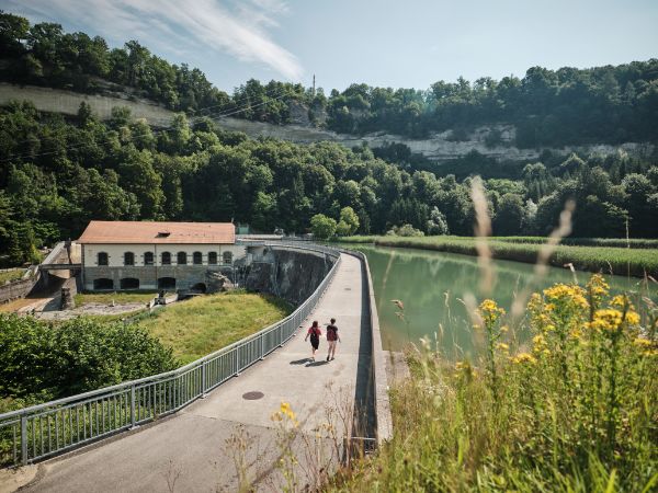
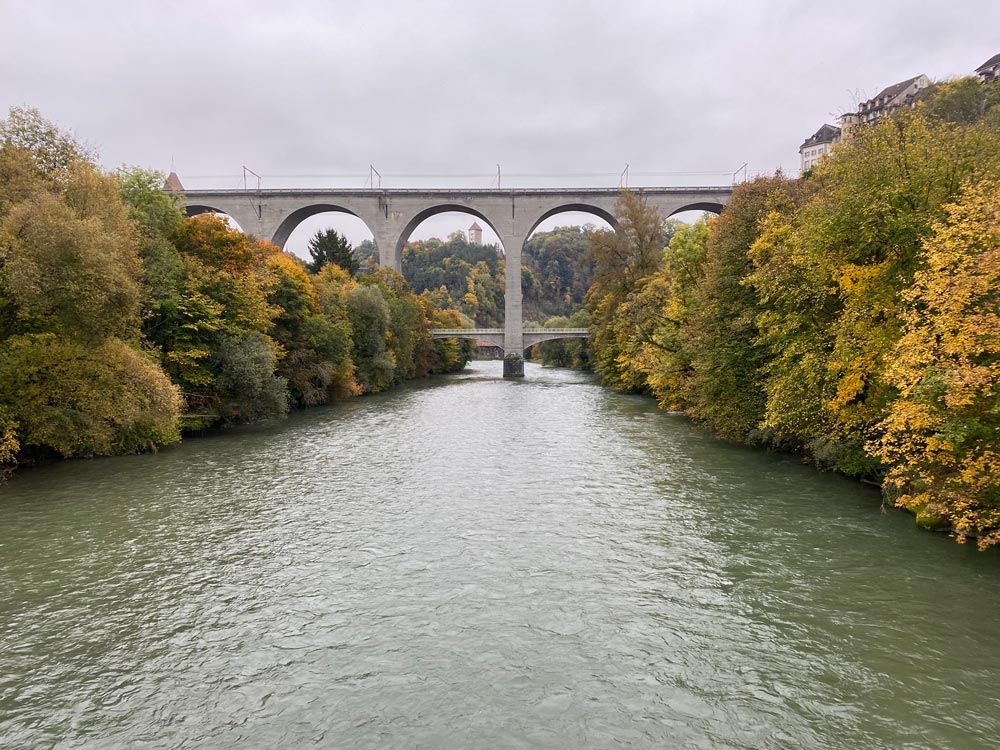
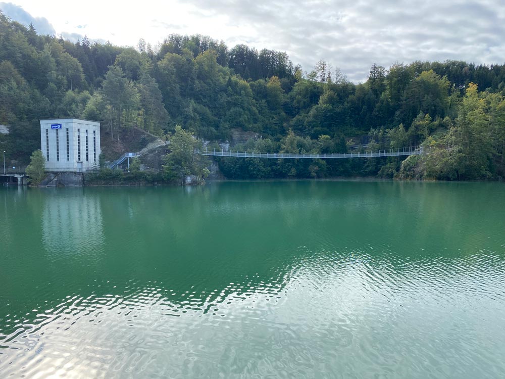
Im Mittelpunkt dieser Etappe steht der Schiffenensee, an dem die Route bis zu ihrem Ende an der Staumauerentlangführt. Von Freiburg aus geht's erst durch die untere Stadt, bevor man zum beeindruckenden Grandfey-Viadukt kommt. Dann schlängelt sich der Weg amUfer entlang, mal durch Wälder, mal über Wiesen – eine spannende Wanderungzwischen städtischem Kulturerbe, Felswänden und unberührter Natur.
Etappe 2: Freiburg – Düdingen, Staumauer/Camping
Startpunkt: Bushaltestelle Freiburg, Charmettes
Länge: 21 km
Dauer: 5 Std. 50 Min.
Im Mittelpunkt dieser Etappe steht der Schiffenensee, den die Route bis zu seinem Ende beim Staudamm entlangführt. Von Freiburg aus durchquert der Weg zunächst die Unterstadt, bevor er das imposante Grandfey-Viadukt erreicht. Der Pfad schlängelt sich anschliessend am Ufer entlang und wechselt zwischen Wäldern und Wiesen – eine fesselnde Wanderung zwischen städtischem Kulturerbe, Felsenklippen und unberührter Natur.
Links & Downloads
Downloads
Copyright
Copyright
Copyright
Copyright
Copyright

Copyright
Copyright

Copyright

Copyright
Der Startpunkt des Weges entlang der FreiburgerSaane ist die Bushaltestelle Rossens FR, Dorf. Diese Wanderroute endet beimCampingplatz in Schiffenen.
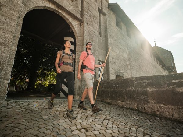
Dieser Wanderweg ist für Familiengeeignet und für alle Altersgruppen zugänglich. Die hügelige Strecke istrelativ einfach und ohne besondere technische Schwierigkeiten.
Der Weg entlang der Freiburger Saane ist aufgrund der Beschaffenheit der Wege nichtfür Menschen mit eingeschränkter Mobilität zugänglich. Die thematischenRundwege, die rund um den Weg entlang der Freiburger Saane angelegt wurden, richten sich jedoch anverschiedene Zielgruppen. Informiere dich daher bitte über denSchwierigkeitsgrad des ausgewählten Rundwegs, um dessen Zugänglichkeit zuerfahren.