


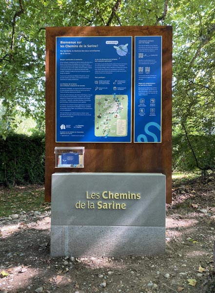

Starting point
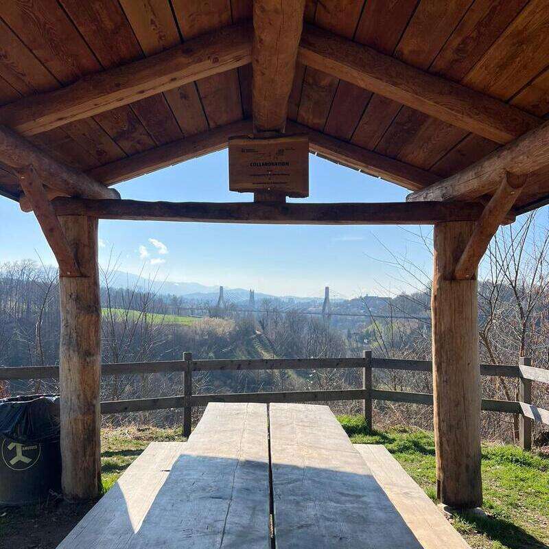
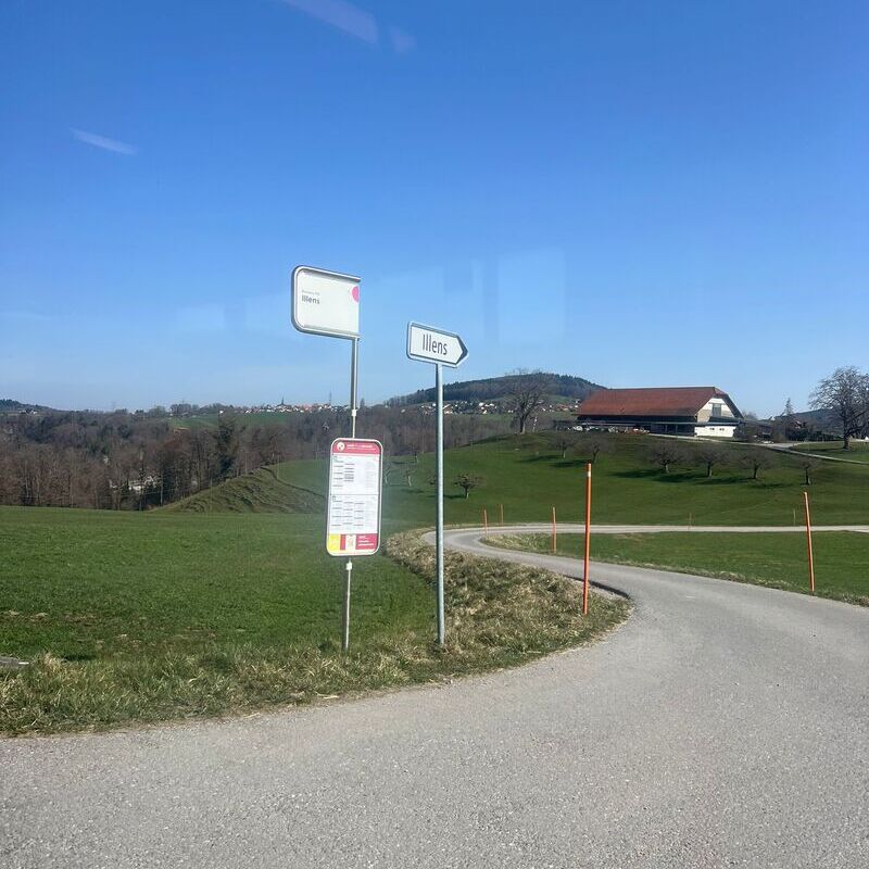
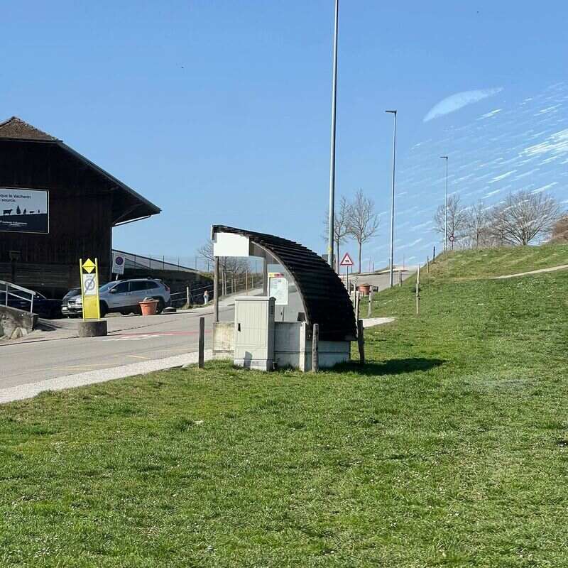
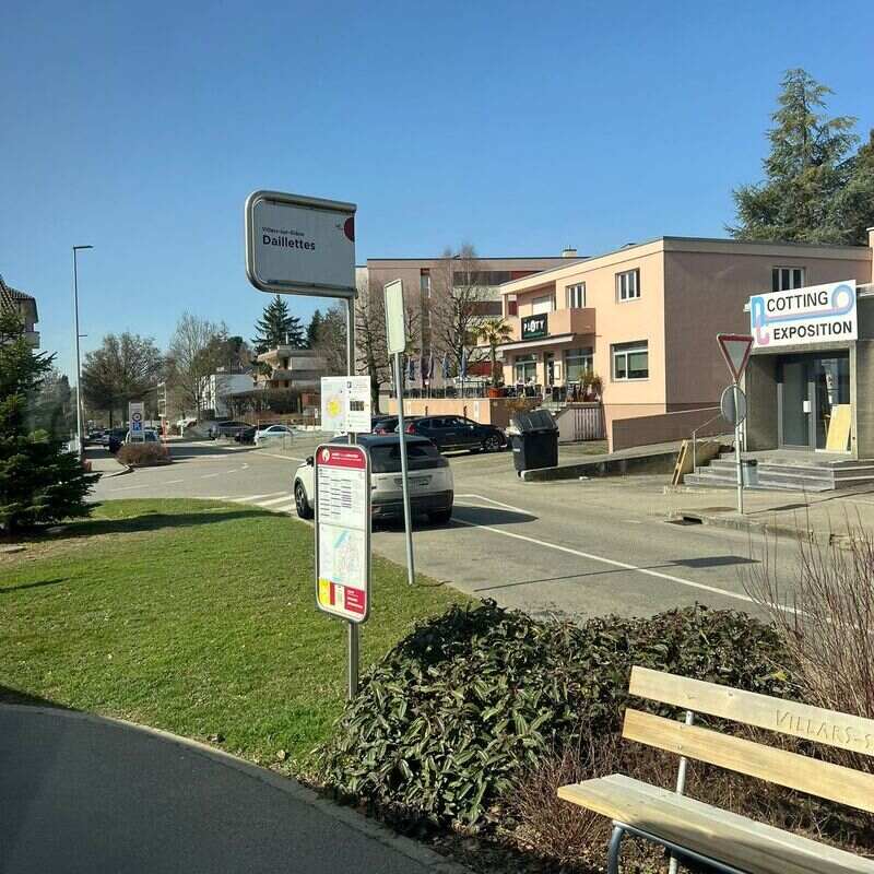
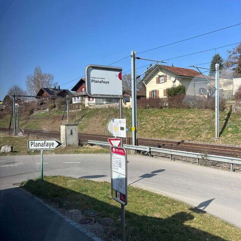
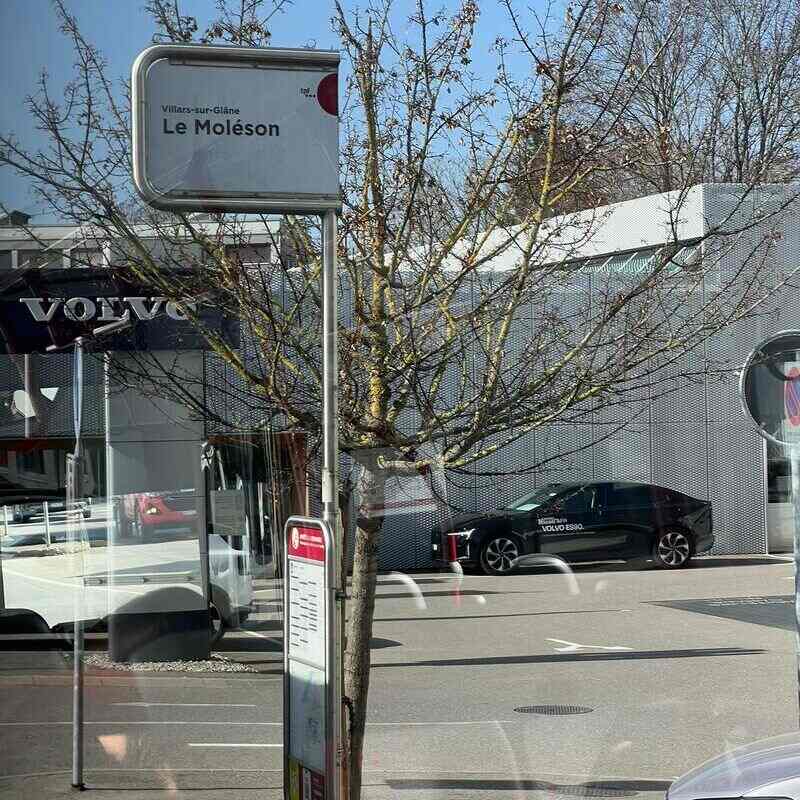
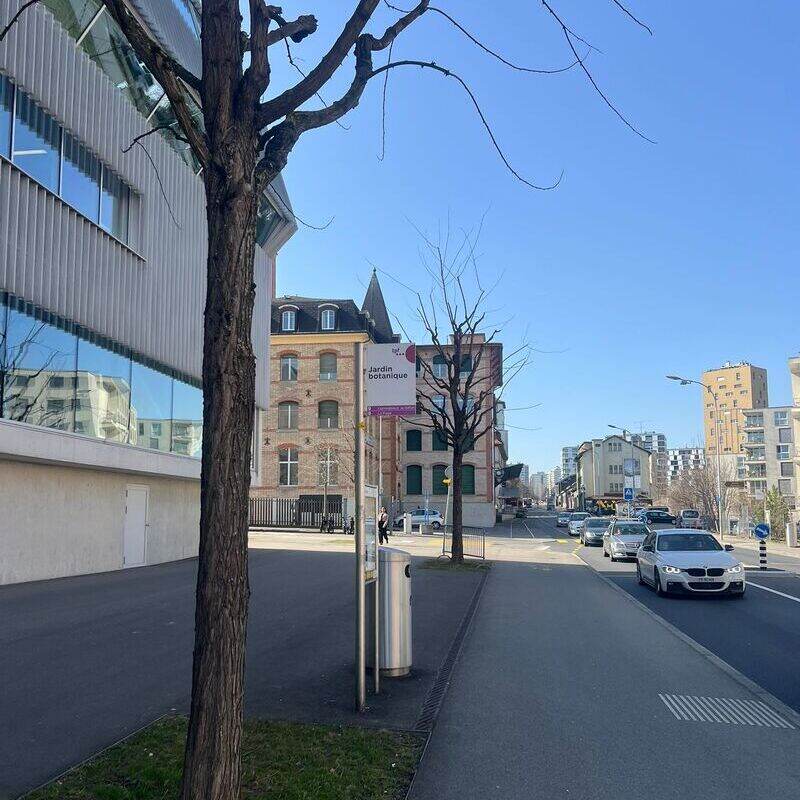
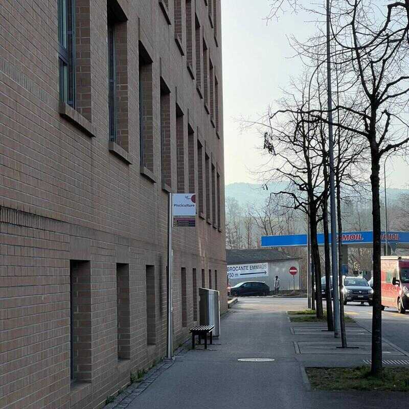
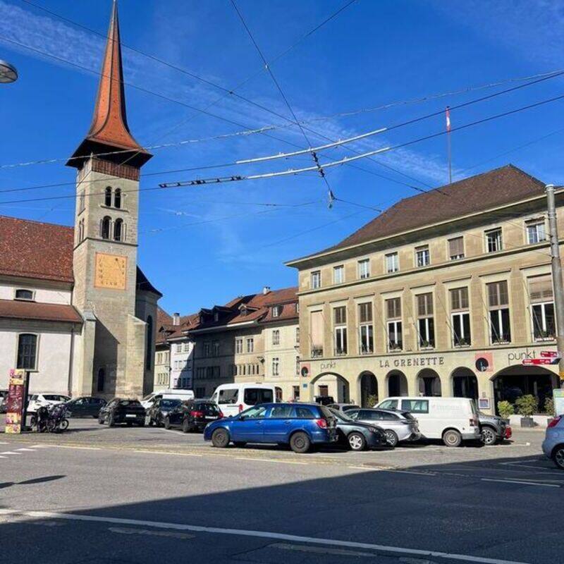
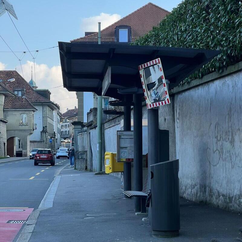
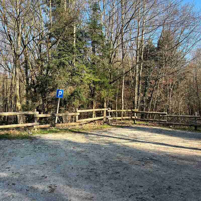
The Sarine Trails can be accessed from different places along their length. Each of these possible starting points welcomes you with an information panel. All are close to bus stops and car parks, making the network easy for all visitors to reach.
The interactive map above shows the various access points and connections to public transport to help you plan your route.
Description
The Sarine Trails comprise a network of walking paths whose core route, or backbone, running between Rossens and Düdingen, will be developed and inaugurated in summer 2026. The core route is extended by themed paths that invite visitors to discover the region’s different terroirs. The first of these is the Hauterive – La Souche Loop, inaugurated on 30 August 2025 and already open to the public.
Technical details
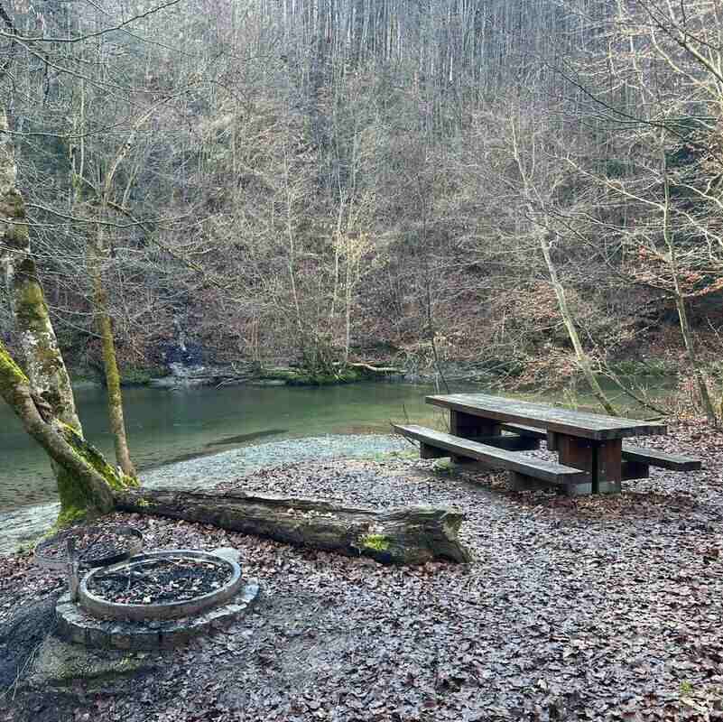
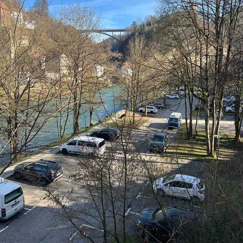
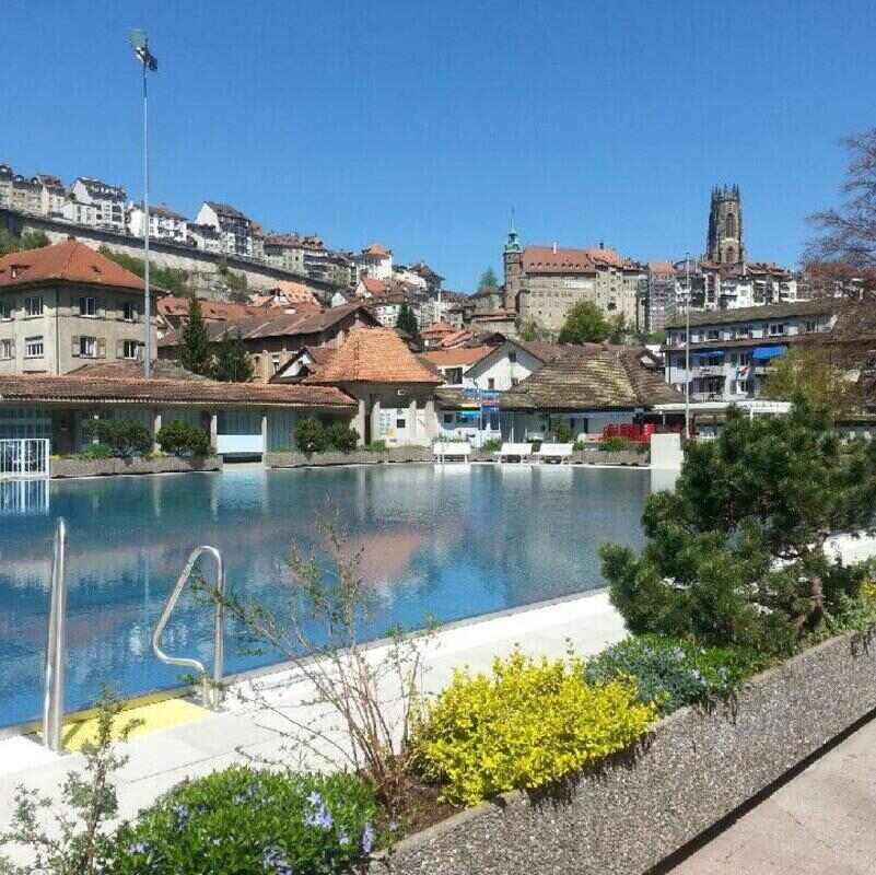
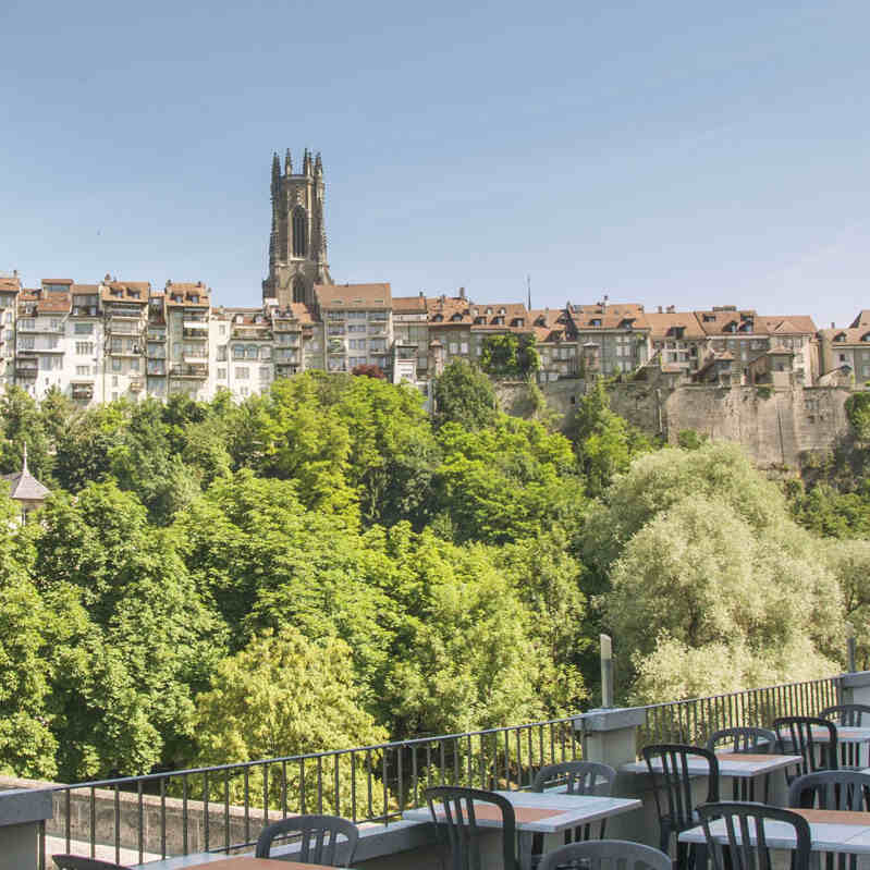
The Sarine Trails offer a wide variety oflandscapes and terrain. The route can follow shady forest paths, or open paths across fields and meadows. At times, it runs along the peaceful banks of the Sarine, then might climb or descend along the contours of the glacial hills that sculpt the relief. The ground is generally soft, alternating with sections on tarmac, providing variety both for the eye and under foot.
The themed paths developed around the Sarine Trails target four categories of walker: Family – Kids – Adult – PRM (reduced mobility). Each itinerary is designed to offer visitors an appropriate experience, corresponding to their expectations and abilities.
Links and downloads
Download
The Sarine Trails’ core route runs between Rossens and Düdingen. It will be inaugurated in summer 2026.
The themed paths around the Sarine Trails’ core route have been graded on a scale of difficulty (Easy – Moderate – Difficult). Please refer to the scale to select walks of an appropriate level of difficulty.
The themed paths branching out from the Sarine Trails are designed for different walkers and fall into one of four categories: Family – Kids – Adult – PRM (reduced mobility). Please refer to your desired category.
